Skip to main content
Home
On the Map Collection
Pearls of the Collection
Nautical Charts
Hungarica Maps
Country Maps
Charts of Regions
Charts of Counties
Military maps
Turkish occupation and reoccupation wars
The Austrian-Russian-Turkish wars
Hungarian soldiers on European battlefields
City Plans
Matthäus Seutter, cartographer and map publisher of Augsburg
Further City Plans
The Golden Age of the Netherlands
Atlas cartography
Theatre of war maps
Miscellaneous topics
Maps with decorative borders
Charts of Counties
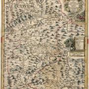
Map of Szepes county (1723)
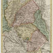
County of Pozsony (1745-1747)
County of Pozsony (1757)
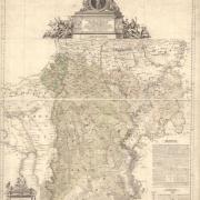
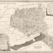
Map of Pest-Pilis-Solt county with Jazygia and Cumania (1793)
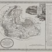
Map of Veszprém county (1799)
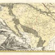
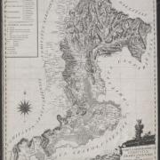
County of Sopron (1795)
Map of Zemplén county (1804)