Skip to main content
Home
On the Map Collection
Pearls of the Collection
Nautical Charts
Hungarica Maps
Country Maps
Charts of Regions
Charts of Counties
Military maps
Turkish occupation and reoccupation wars
The Austrian-Russian-Turkish wars
Hungarian soldiers on European battlefields
City Plans
Matthäus Seutter, cartographer and map publisher of Augsburg
Further City Plans
The Golden Age of the Netherlands
Atlas cartography
Theatre of war maps
Miscellaneous topics
Maps with decorative borders
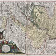
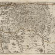
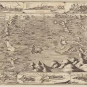
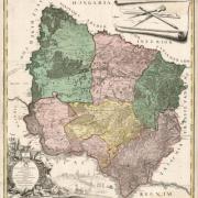
Charts of Regions
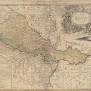
Southern Hungary and northern regions of the Balkans (1718)
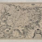
Map of the northern part of Hungary (1682)
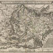
Northwestern regions of Hungary (1670-1682)
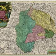
Map of the Banat of Temeswar (1776-1778)
Erdély térképe (1662–1665)
Ethnic map of the Principality of Transilvania (1705)
Ethnic map of the Principailty of Transilvania (1730-1735)
Map of Slavonia (1745)