Skip to main content
Home
On the Map Collection
Pearls of the Collection
Nautical Charts
Hungarica Maps
Country Maps
Charts of Regions
Charts of Counties
Military maps
Turkish occupation and reoccupation wars
The Austrian-Russian-Turkish wars
Hungarian soldiers on European battlefields
City Plans
Matthäus Seutter, cartographer and map publisher of Augsburg
Further City Plans
The Golden Age of the Netherlands
Atlas cartography
Theatre of war maps
Miscellaneous topics
Maps with decorative borders
Hungarian soldiers on European battlefields
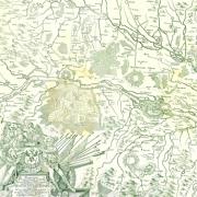
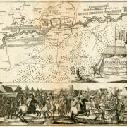
Map of the area of the Rhine Valley between Rheinfelden and Mainz
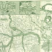
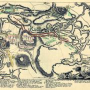
Map of the central area of Po Plain, with the events of the operations of 1734
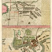
Map of the Battles of Colorno and Parma in 1734 (1735)
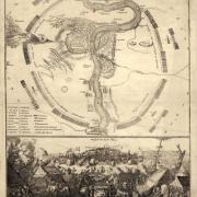
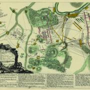
Map of the siege of Prague in 1742 (1742)
Map of the camp of the joint Austrian, Hungarian, British and Hanover army
Map of the Battle of Lowositz in 1756 (after 1756)
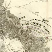
Map of the Battle of Kolín in 1757 (after 1757)
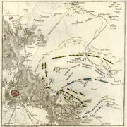
Map of the Battle of Leuthen in 1757 (after 1757)
Map of the Battle of Aspern (1809)
Map of the Battle of Győr (1809)
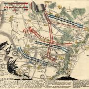
Map of the Battle of Wagram (1809)